I was in London last week to attend DrupalCon, where everyone who works on the Drupal software open-source project (Drupal is the software I use to build web sites for my clients) gets together. Since it is very tedious to fly to Europe, and I was going to have to adjust to 8 hours of jet lag, I decided to take an extra week off… but what to do? I thought it made the most sense to do something within a few hours of London, so the options ranged from Paris to Edinburgh. But of course (given who I am), my thoughts turned towards doing something outdoors.
Unfortunately, it didn’t really make sense for Zach to join me on this adventure (long way to fly for a short time). So, I teamed up with my Drupal pal Randy Fay, an outdoor enthusiast from Colorado, and we settled on the “Allerdale Ramble”, a several-day walk in the Lake District National Park region of northern England. I bought a guidebook before I left for England, and we set out after the conference was over, caught a train to Penrith, and spent the night in a B&B.

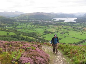
Our trip really started in earnest the next morning (Saturday, August 27), when we left our conference luggage in Penrith and caught a bus to Keswick, carrying “credit-card touring” supplies for 5 days (i.e., no tent and sleeping bag, as we would stay in B&B’s and hostels). When we were nearing Keswick, the woman in the seat in front of us turned to ask us a question (which of course we didn’t know the answer to, not having been there before either). So instead of giving her an answer, we invited her to come hiking with us for the day. That suited her fine, so Randy, Delphine, and I went to one of the zillions of hiking stores in Keswick for a map, picked up some rolls and cheese, and took a bus south to Seatoller. From there we walked back to Keswick via the high route — up to a ridge, and along it to “Catbells” peak, with great views of Derwent Water (one of two lakes near Keswick).
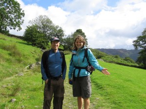
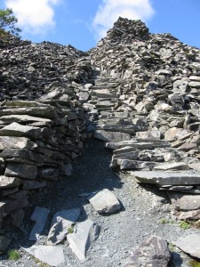
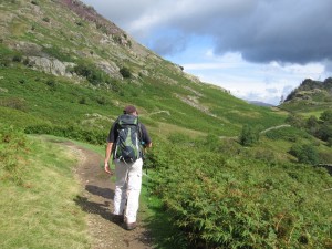
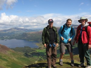
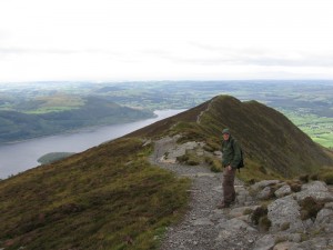
After spending the night in Keswick, on Sunday Randy and I set off to climb Skiddaw, at 3000+ feet the highest peak around. We got almost to the top, but as it was very cold and blustery, decided that we would forgo the final ascent in 60 mile per hour gusts, in favor of enjoying our vacation. So we walked down via “The Edge”, a spectacular ridge with beautiful views of Keswick’s other lake, Bassenthwaite Lake. The hike ended up in a tea shop (how very English!), and after enjoying some ice cream there (it was not anywhere near as cold down at that elevation), we returned to Keswick for a second night.
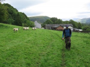
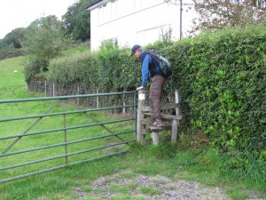
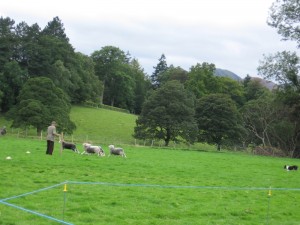
On Monday, we left our Keswick B&B and headed off northwesterly. We paused briefly on our way out of Keswick to watch some sheep dog trials at the local agricultural fair, and then walked through Dodd Wood to the same teahouse we had visited the day before. Then we headed farther north along the Bassenthwaite Lake shore, circled around the top of the lake, and finished our walk at a B&B in the village of Dubwath.
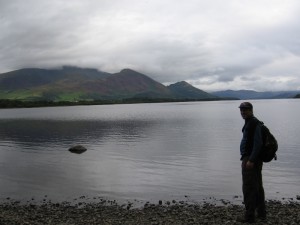
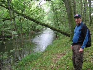
On Tuesday, we headed for Cockermouth. En route, we encountered the first real rain we had seen — though it wasn’t too bad, except that our feet got soaked due to walking through wet grass (much of hiking in this region involves tromping through sheep fields). We took one unintended detour, but still made it to Cokermouth without any real trouble. There we spent the night at its delightful YHA hostel — one of the old-style “simple” hostels — a quiet place by the river, with only two other people staying there that night.
Wednesday morning we took the bus to Maryport on the coast of the Solway Firth, which separates England from Scotland along the west coast. In Maryport, we visited a really neat Roman museum, and then set off up the coast to Allonby, via a combination of grassy paths and beach walking. The tourist information office in Maryport had told us the only reason to go to Allonby was for the ice cream, so we of course had to sample that when we arrived, and we stayed the night there in a pleasant inn.
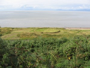
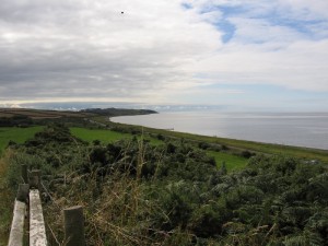
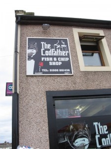
Thursday we continued up the coast as far as Silloth, where we caught a bus to Carlisle, and another back to Penrith, where we retrieved our luggage and stayed the night at the same B&B.
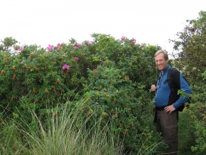
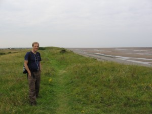
It sure was a nice walk — very peaceful, beautiful scenery, lots of variety (hills, lakes, sheep fields, coast), and a nice break from work and Drupal. I’ll be heading back to the US this weekend, after a day or so in London… so that’s it until the next adventure!
A few notes, if you found this page because you are thinking of doing the Allerdale Ramble:
- The guidebook was really useful for directions, but the lodging information was EXTREMELY out of date! Many of the places it says there were lodging didn’t even have any at all. Check the Internet or a local tourist information office (which will happily book lodging in your price range).
- The RambleFest web page on the Allerdale Ramble has some good accommodation information.
- Get the Ordinance Survey OL4 Lake District map (northwest section — careful, there are 4 maps with similar names!). There are many outdoor shops in Keswick, and the first one we walked into was well stocked in maps, so no reason to buy the map ahead of time (and Amazon didn’t stock the right one).
- Bring a compass! There are a LOT of trails in the Lake District, and you’ll want map, guide book, and compass to figure out which one to take.
- The end of August time frame was good, weather-wise — perfect temperature for hiking most of the time. Keep in mind that the last (or fourth?) Monday in August is a “bank holiday” weekend in England, so you’ll need to book ahead on lodging.
Looks lovely, and I recognize some of the names from our trip there 7-8 years ago.
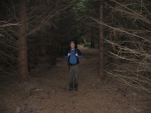
You didn’t see any candy-covered gingerbread houses in those deep, dark woods, did you? ;)
Fun, Jennifer, and nice photos! Great info for others who may find themselves headed in this direction. Been a long time since I was over that way, but I hope it won’t be too long before that changes.