The Danube is the second longest river in Europe, and runs from the Black Forest in Southern Germany all the way to the Black Sea. We are planning to ride only as far as Budapest in Hungary.
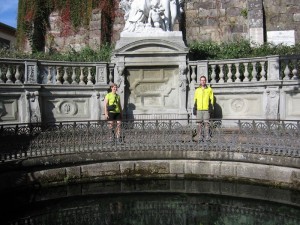
There is some debate on where the Danube actually begins, but the official source is located in Donaueschingen.

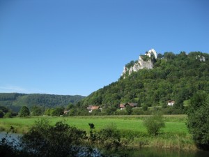
For some time, the river is barely more than a creek, as the route meanders through the pleasant countryside. Within the first day or two, we reach the Swabian Alb, where the river valley narrows, and we see beautiful limestone cliffs. These cliffs are apparently a good place to build castles, as we saw quite a few in this area.


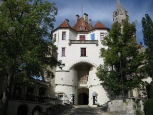
We spent a while in the town of Sigmaringen, where we were able to tour a famous castle and church.

This is a very popular route, and we have been meeting a variety of people of many ages, nationalities, and origins. Also quite a few families and local riders. It is fun to see some of the same people multiple times, as we ride at differing speeds and stop at different times.
The map below shows a rough idea of the part of the Danube we have done so far (don’t believe the elevation profile or the exact lines – we didn’t mark the route too carefully and don’t have a GPS trace or anything like that). We rode from Donaueshingen to Ulm over the course of four days, at which point we decided we deserved a day off (the weather was not cooperating), so we took the train to Ingolstadt for a rest day. Tomorrow, we will set out on again on our bikes down the Danube from Ingolstadt.
Note/Edit: We decided to go back and tag posts with the games they’re related to. Sigmarignen, Ulm, and Ingostadt are all in Thurn and Taxis.
Ulm… reminds me of that Monty Python bit about Johann Gambolputty de von Ausfern- schplenden- schlitter- crasscrenbon- fried- digger- dingle- dangle- dongle- dungle- burstein- von- knacker- thrasher- apple- banger- horowitz- ticolensic- grander- knotty- spelltinkle- grandlich- grumblemeyer- spelterwasser- kurstlich- himbleeisen- bahnwagen- gutenabend- bitte- ein- nürnburger- bratwustle- gerspurten- mitz- weimache- luber- hundsfut- gumberaber- shönedanker- kalbsfleisch- mittler- aucher von Hautkopft of Ulm, but I digress.
It looks like you saw some great sights. The only castle I got to see was the Herrenchiemsee Castle by mad king Ludwig.
http://en.wikipedia.org/wiki/Herrenchiemsee